Cyclerides.com Day Rides
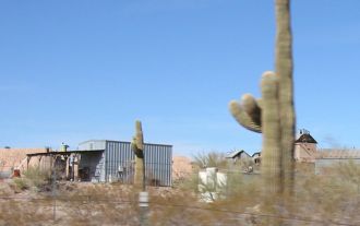
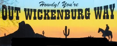
Vulture Mine Road

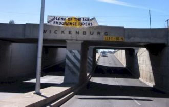
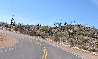
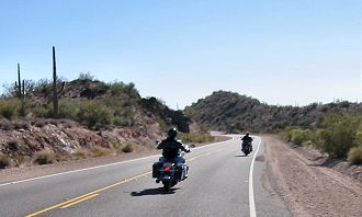
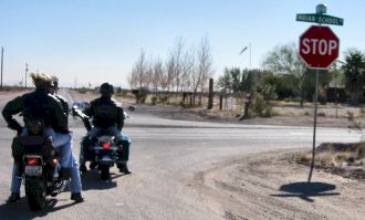
If you are looking for a ride into the wide open spaces where there is no traffic and lots of room to ride without dodging cars, this is one for you.

Vulture Mine Rd. is named after The Vulture Mine, which is located about 14 miles southwest of Wickenburg, Arizona.

In 1863 Henry Wickenburg discovered gold at this location. There are three tales of how he found the gold, but the most intriguing one is that while out looking for gold, he shot 
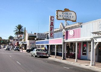
a vulture. When he went to pick up the vulture he noticed a gold nugget sticking out of the ground.

The mine thrived through the 1890's and was still operational in the 1920's. In 1942 the mining at that Vulture Mine had stopped. There are various buildings, a school and a hanging tree still to be seen there. There is an entrance fee and visitors can take a self-guided tour.

Here is a web site that describes in detail the Vulture Mine . And here is one that describes Wickenburg.

Distance: 153 miles

Riding Time: Approx. 4 hours

Directions:
Click Here For A Complete Detailed Map

Starting from I-17 and Loop 101 head North 9 miles to Hwy 74 West. (Also known as Carefree Highway.)
Ride West on Hwy 74, 13 miles to Lake Pleasant. Here you can turn right onto Castle Hot Springs Rd. into Lake Pleasant Regional Park. Follow the signs to the Park entrance.

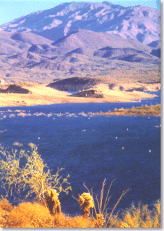
Lake Pleasant offers a visitors center where park visitors can learn about the Central Arizona Project, Waddell Dam, and Lake Pleasant. Books, pamphlets, and a variety of gifts are available for purchase inside the visitor's center. Step out onto the balcony surrounding the visitors center and you get a beautiful view of Lake Pleasant and an up close view of the Waddell Dam. Entrance to the Visitor Center is included in your park entrance fee of $5.00 per vehicle.

If you choose not to stop at Lake Pleasant continue your ride another 23 miles to the Junction of Hwy 74 and U.S. 60 Hwy.

Go North on Hwy 60, 11 miles to Wickenburg. Here you can have breakfast or lunch at one of many restaurants in the downtown area. There are also plenty of places to refuel in Wickenburg. You have now traveled 56 miles.

At the intersection of Hwy 60 and 93, Go under the bridge continuing on Hwy 60 for 2 more miles to Vulture Mine Rd.

Turn Left (West) on Vulture Mine Rd. and follow this road approximately 12 miles to the Vulture Mine. You can stop if you would like for a self-guided tour.If not, continue on. The following are some of the sights you will see.

If you don't stop at the mine, continue on another approx. 26 miles to Indian School Rd. The picture on the right is what it is going to look like. Sit back and enjoy the peace and quiet without cars.

Turn Left (East) on Indian School Rd. and go 2 miles to 339th Ave. Turn Right (South) on 339th Ave. and go 2 miles to I-10. This is also Rip's Truck Stop where you can get fuel, food and drink. Exit 103.

Go East on I-10 6 miles to Sun Valley Pkwy Exit 109. Turn left (North) on Sun Valley Pkwy.

Go North and then East on Sun Valley Pkwy. for 32 miles. This was supposed to be a city out here several years ago that never made it off of the ground. This is a 4 lane divided road that you rarely see any other cars on. Only the occasional semi truck driver training. You can really have some fun on this road. You will see the White Tank Mountains on your right side as you head North.

The end of Sun Valley Pkwy. will drop you off in Surprise and Sun City West, AZ.and turn into Bell Rd. From here just follow Bell Rd. to 101 East and find your way back home.

Variations: If you live on the East side of town you can continue East on 1-10 instead of taking Sun Valley Pkwy North.

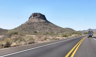
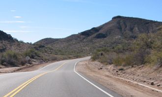
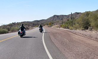
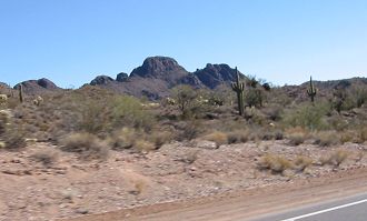
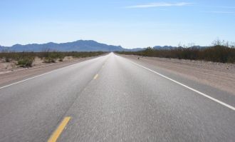
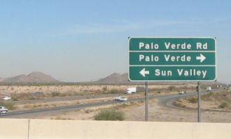
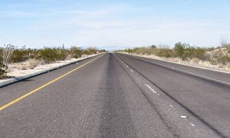
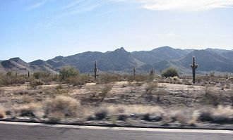
My Review Of This Ride:

The first half of this ride through the Lake Pleasant area, Wickenburg and the Vulture Mine area is very enjoyable.Once past the Vulture Mine the next 26 miles is very flat with scattered mountains on your right side. It is acutally very relaxing just to cruise for a while. Nearing I-10 it gets a little desolate. Heading back North on Sun Valley Parkway you will be amazed that the road is actually there. It's a great divided four lane road that you can really air it out. There are rarely any cars on this road. You will see the White Tank Mountains on your right side for most of the 30 plus miles.

Conclusion: Except for just a few miles this is a very enjoyable ride that will get you out of town and away from the traffic for a few hours.

Click Here For A Complete Detailed Map